
Our final trip together as a group was this weekend (que triste), and even though Cuetzalan is a tiny little town way up in the mountains, we certainly made an adventure out of it. It was beautiful, and it was probably my favorite trip of the entire program.
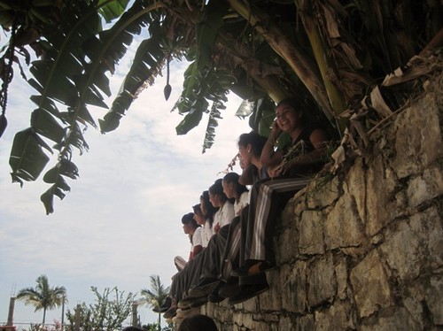
Our first stop, however, was the highlight of all highlights. Since the early years of the Puebla Mexico study abroad program, Penn State has been helping out a growing school in a teeny, tiny rural village called Yohualichan. We were able to give the Escuela Secundaria (essentially a middle school) a nice donation, and our group raised money and bought food, amenities, and sports supplies to bring for the kids. Seeing their smiles when we arrived was one of the most rewarding experiences of my life. The teachers and caretakers there really do a great job at making education a priority for these kids, who live in rural and indigenous areas. Not all of them even spoke Spanish too well; Nahuatl, the native language, was more common.

 We got to eat a typical lunch (burgers and fries!), play school games with the kids, and we even had a few early matches of US vs. Mexico. The kids were amazing at futbol, so it wasn’t too surprising that we met the same fate as our professional soccer counterparts. We’re hoping we’ll be able to continue helping out the Escuela Secundaria in the future.


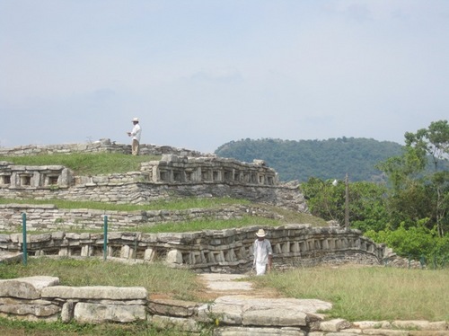
Afterwards, we got to visit the village church and our final archaeological site– Totonac ruins!
 Saturday was essentially a free day, and almost the entire group decided to go extreme and visit the nearby waterfalls and caves (photo thanks to Rhianna and Bill!). We got to swim in freezing waterfall pools, hike up and down mountains (sliding at some points), and clamber way down below the surface. Most of it in the rain. It was scary at some points but all around an incredibly fun day! And, of course, we got back in time to watch some of the actual US vs. Mexico match.


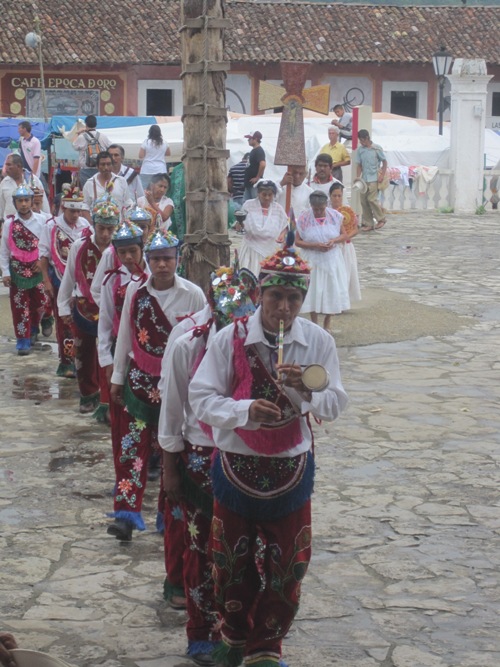
 On Sunday, the center of the town was filled with people thanks to the weekly market that takes place. There were crafts, food, toys, clothes, shoes–everything! It was a sight to see. We also got to witness a mass in the church which was unlike any church service I’ve been to before. The people there managed to incorporate indigenous rituals into the Catholic system. Afterwards, we also got to see Voladores de Papantla! This time, the tree was a LOT bigger than the one in Cholula, and I got to be a lot closer. It was breathtaking to watch!
 I’ve got a few more posts I want to churn out before I head home, but it’s getting down to the wire. I can’t believe I leave in three days. It’s going to be devastating and comforting at the same time. Even saying goodbye to our amazing bus driver, Orlando, got a bit sentimental. He was a complete boss– I would never be able to drive our giant Mextur bus on these crazy roads! It really is the beginning of the end, but Cuetzalan was a perfect finish.
Location: Cuetzalan, Mexico