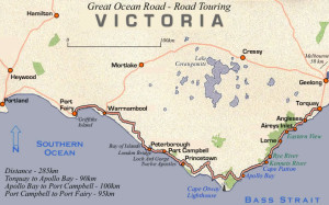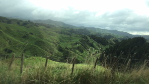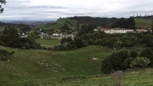
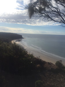
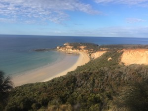
Our second day started with breakfast at the b&b, followed by a drive to a national park. This is the only location of the trip that I failed to take note of the name, but it was a great stop! We took a walk through the forest, which our guide said reminded him of the Blaire Witch Projects due to its eerie look with the dry and twisted trees, and paused at a spectacular lookout of the beach below.
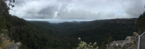
East side of lookout
West side of lookout
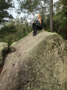
Teddy’s Lookout
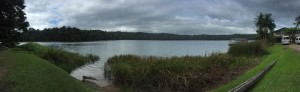
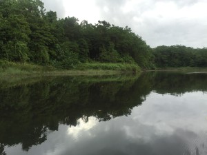
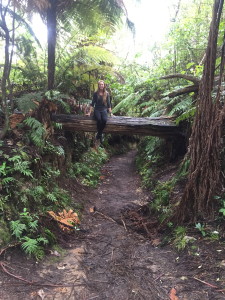
We Here we took a short walk through the woods in the town of Lorne, where we saw a few different birds. Our guide then gave us directions to take a short hike down the mountain, while he drove the car around to meet at the bottom. We hiked down a very steep track to the base of the mountain, at the river lookout. It was neat to see the Saint George River from above, then hike down and along it as well. We ate lunch in the nearby town of Marengo, enjoying delicious food at the General Store café.
Teddy’s Lookout
Beachwalk
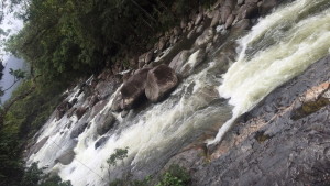
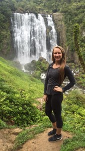
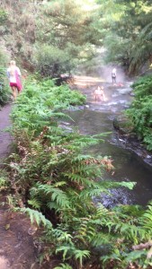
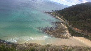
One of my favorite stops of the day was a short beach walk we took near this area. We walked out on rock platforms, and using binoculars you could see a few seals on nearby rocks! It was a stunning beach, and a beautiful change of scenery from all the bushwalking.
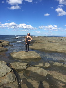
Rocks platforms on the beach
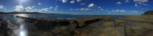
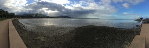
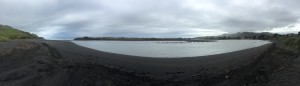
Panoramic view of the beach
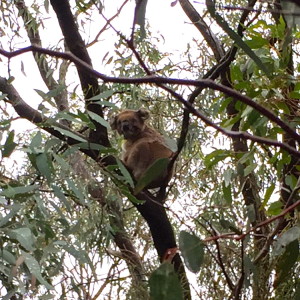
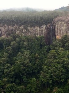
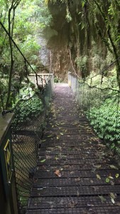
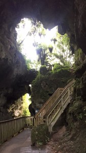
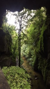
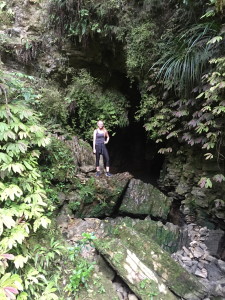
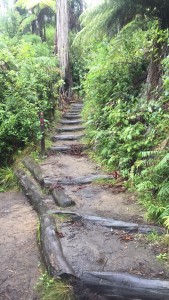
Maits Rest
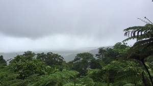
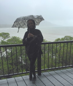
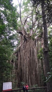
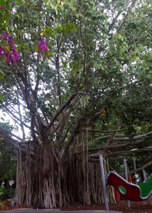
The next stop, Maits Rest rainforest, was also a fantastic find. Part of the Great Otway National Park, this is a must-do. This national park was declared in 2004, and overall includes a variety of landscapes including beaches, forests, a significant koala population (obviously important) and the Cape Otway Lighthouse. We took a relatively short but awesome walk through through one of the only rainforests left standing in Southern Australia, on the wooden boardwalk track that carves through the ancient forest.
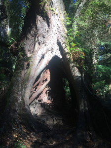
Tree in Maits Rest Rainforest
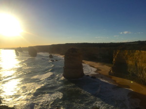
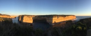
The 12 Apostles
It’s easy to see why the 12 Apostles are a popular tourist attraction, but was strange to enter such a busy area after bushwalking with only a few people for a day and a half straight. Rock cliffs in the area are made of soft limestone, which the Southern Ocean (combined with harsh weather conditions) gradually eroded to form caves and steeper cliffs. Those cliffs became arches, which eventually collapsed leaving rock stack formations.
Until 1922, the formation was called the Sow and Piglets, with Muttonbird Island as the Sow and the smaller rock stacks as the Piglets. However, the name was changed a number of years ago to increase tourism to the area, and the 12 Apostles was selected simply because it sounded more appealing. There were never actually 12 rock stacks, only nine, and in 2005, the 9th stack collapsed leaving the currently standing 8 Apostles.
The 12 Apostles lookout (west)
One downside is that the soft limestone landscape makes it susceptible to further erosion and collapse. Studies are currently being conducted to make predictions of changes, but currently the rate of cliff erosion is 2cm per year. Existing headlands to cliff faces are expected to become new rock stacks in the future, and sinkholes more inland are becoming more of a problem. Although sinkholes evolve over time and do not collapse suddenly (unlike cliffs could), they still present infrastructure problems.
Loch Ard Gorge
This lookout gets its name because the Loch Ard boat ran aground here years back, near Muttonbird Island, while traveling from England to Melbourne. Two out of 54 passengers survived, including Tom Peace (age 15) and emigrant Eva Carmichael. Tom saved Eva after hearing her cries for help, and they were taken in by a random passerby (although several versions of why these people where in the undeveloped area at the time exist). Later the arch of the nearby island collapsed, leaving two unconnected pillars which are now named Tom and Eva respectively.
Loch Ard Gorge
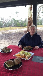
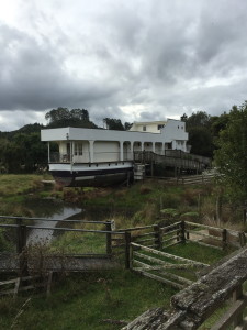
Loch Ard B&B
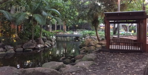
For our evening accommodation, we stayed at an absolutely charming dairy farm bed and breakfast. The property was set just behind the Great Ocean Road, with the ranch-style house sitting atop of the hill. We could see kangaroos and cattle roaming through the hills, and were close enough to still see the sea spay coming up the cliff edges. The couple that owns the bed and breakfast are lovely, and estimated they’ve had over 4000 people stay there in the past 10 years. Overnight, we had massive thunderstorms come through, which made us feel quite in touch with nature (luckily from inside). They made us a homemade dinner and we had a fantastic night enjoying their (Australian) Southern hospitality!